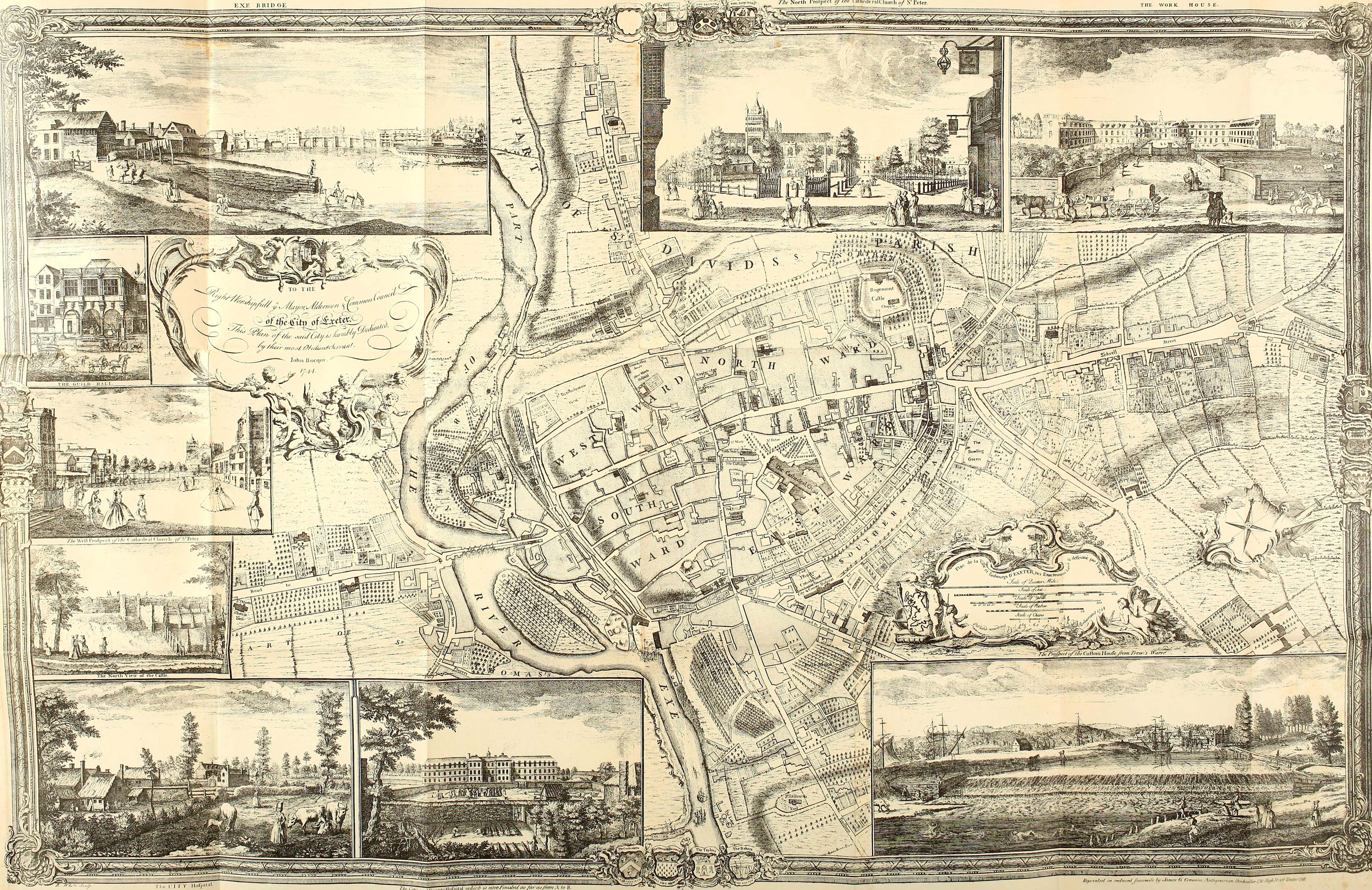
Roque's Map of Exeter 1744
Roque's map of Exeter in 1744 provides an important snapshot of the city's buildings and streets, so many of which have subsequently been lost. That is just as relevant - and perhaps even more so - for many of the city's medieval churches. It can be hard to know for certain what they looked like or precisely where they stood without visual records such as this. All of the churches shown on this map are mentioned in the tour of central Exeter's churches and chapels which starts here.
Text copyright © P L Kessler and the History Files. Reproduction of this copyright-free image is made on a 'fair dealing' basis for the purpose of disseminating relevant information to a specific audience. No breach of copyright is intended or inferred. Go back or return home.