|
|
|
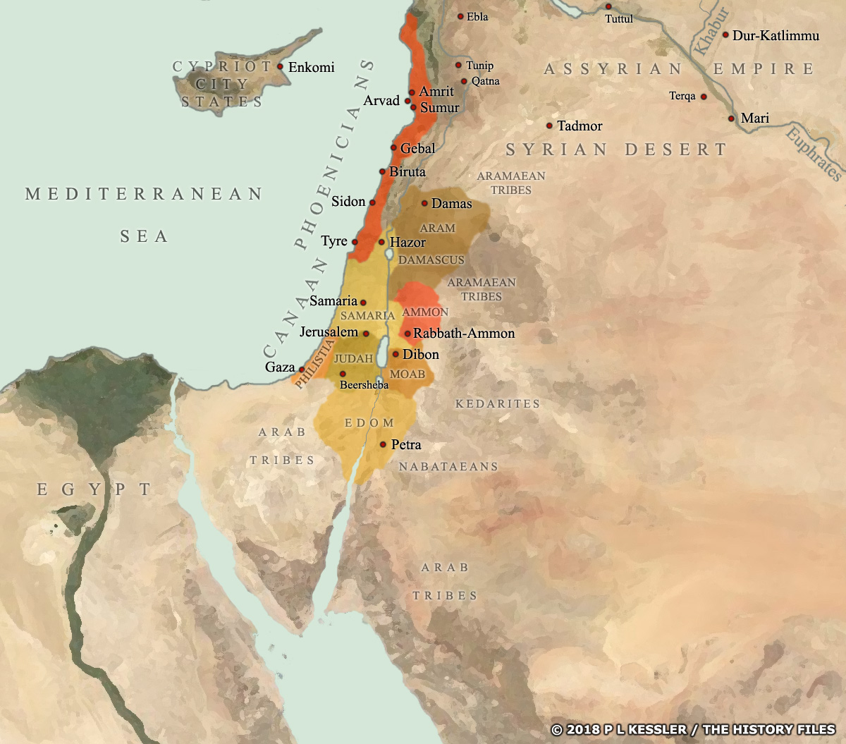
Map of Canaan and Syria c.850 BC |
|
During the ninth century BC Canaan (the Levant) and Syria consisted of a patchwork of city states which often fought between themselves for regional power. Aram Damascus was one of the most powerful, often enjoying periods of dominance over the others, although even then it could be defeated in battle. But when the Neo-Assyrian empire threatened them around 853 BC they united to protect their joint territory - successfully it seems, at least for a time. A clickable version of this map is available for desktop displays. To select a state for further information, click on its name.
Map navigation: |
|
Original text and map copyright © P L Kessler
and the History Files. An original feature for the History Files. |